Datasets

Oxford RobotCycle Dataset

Oxford RobotCycle Dataset ↗

RobotCycle captures more than 70 km of urban cycling from the cyclist’s viewpoint, combining cameras, lidar, inertial sensing, and eye-gaze tracking. The recordings span varied road layouts, traffic, weather, terrain, and inclines. An accompanying toolkit supports perception, odometry, and analysis of how cyclist attention and behaviour relate to road infrastructure and safety.

Oxford Offroad Radar Dataset

Oxford Offroad Radar Dataset ↗

The Oxford Offroad Radar Dataset contains radar recordings and GPS/INS reference measurements collected in the Scottish Highlands, including extreme weather. Eleven traversals cover approximately 154 km across four routes with distinct landscapes and driving conditions. An accompanying toolkit supports radar place-recognition experiments and evaluation against reference positions.

Oxford Road Boundaries Dataset

Oxford Road Boundaries Dataset ↗

The Oxford Road Boundaries Dataset pairs urban driving images with road-boundary masks for training and evaluating detection methods. Manual annotations from two RobotCar traversals are extended to additional journeys using visual localisation, producing 62,605 labelled samples, including 47,639 curated samples. The data covers varied road layouts, traffic, weather, and lighting conditions.

Oxford Radar Robotcar Dataset

Oxford Radar Robotcar Dataset ↗

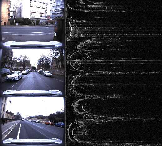
This extension to the Oxford RobotCar Dataset adds scanning millimetre-wave radar and dual 3D lidar recordings from 280 km of driving around Oxford. Optimised radar odometry ground truth accompanies the sensor data. It supports research into radar-based localisation, mapping, and odometry, including conditions that are challenging for cameras and other sensors.

Oxford Robotcar Dataset

Oxford Robotcar Dataset ↗

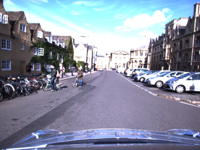
The Oxford RobotCar Dataset records more than 100 traversals of a repeated route through central Oxford over more than a year. It combines camera imagery, lidar, and GPS/INS measurements across changing weather, lighting, traffic, and roadworks. These repeated observations support research into long-term localisation and mapping in changing urban environments.